From Mono lake we headed to the upper elevations of Yosemite National Park via Tioga Rd, also known as Hwy 120, which is typically closed to traffic from about mid-October until mid-June every year. Tioga Rd begins at Hwy 395 in the town of Lee Vining, making it yet another “gateway to Yosemite” for at least a few months each year.
Right at the intersection of the two roads, there is an amazing multi-business facility that caters to the tourists who pour into the area. It is a combination of a huge gas station; a general store that carries everything one could possibly need for camping, hiking, hot weather, cold weather, etc.; and the ” Whoa Nellie Deli” which has shockingly good food including sandwiches, salads, tacos, etc. The place was busy but functioning like a well oiled machine when we were there; Frank’s fish tacos and my carnitas were delicious. I’d recommend a stop if you are in the area.
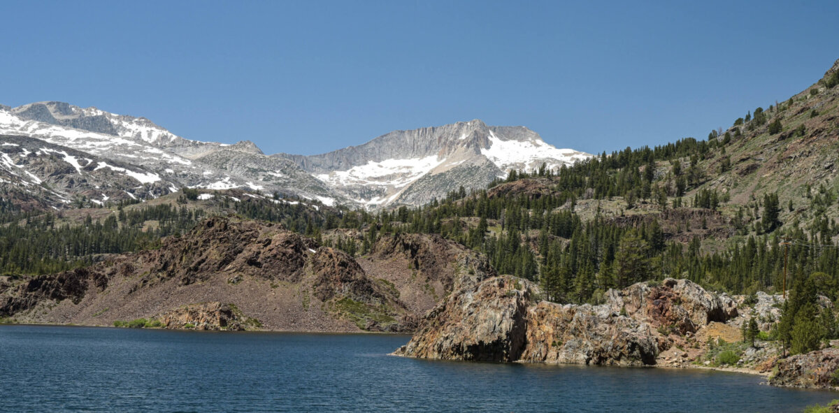
The Tioga Pass entrance to Yosemite is about 11 miles from the Hwy 395 intersection. In this section of road, the elevation goes rather rapidly from about 6700 ft at Lee Vining to just over 9700 feet at Tioga Lake. There are pine forests and interesting rock formations as well as turn offs for campgrounds, trailheads, and picture taking. There are also several lovely, small lakes along the route including the one pictured below.
The first significant attraction beyond the park entry gate is called Tuolumne Meadows. I had read about this area being a beautiful, scenic meadow, full of wild flowers and ideal for a picnic. Instead, what I saw were flat grassy fields on either side of the road leading to very wet, boggy fields in which standing water was clearly visible but wildflowers very definitely were not. We speculated as to when the flower blooming season might be at this elevation: it was warm and sunny during the day while we were in the area but still pretty cool at night. Perhaps the flowers had yet to bloom. Or maybe they had bloomed already, as soon as the weather turned just a bit warmer and the days a bit longer, even before the road was opened for the season, so no one was there to see them. It is something I remain curious about.
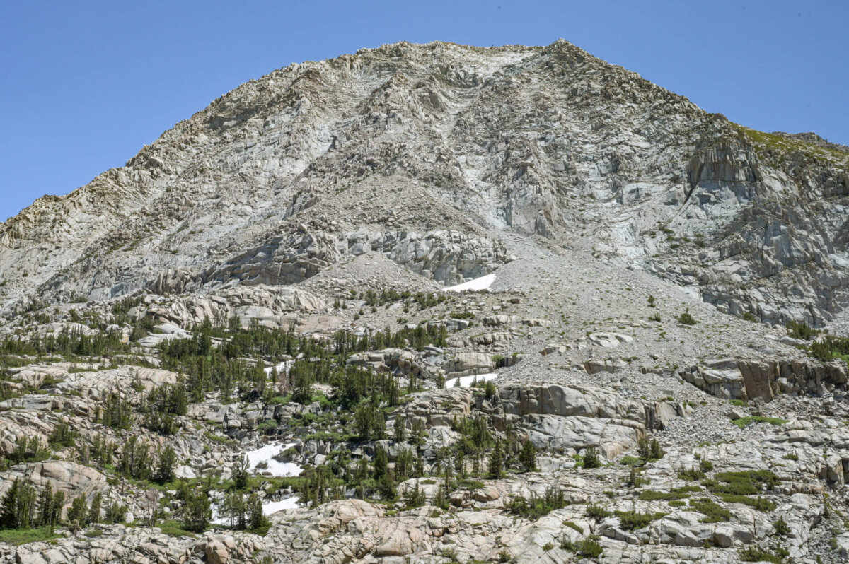
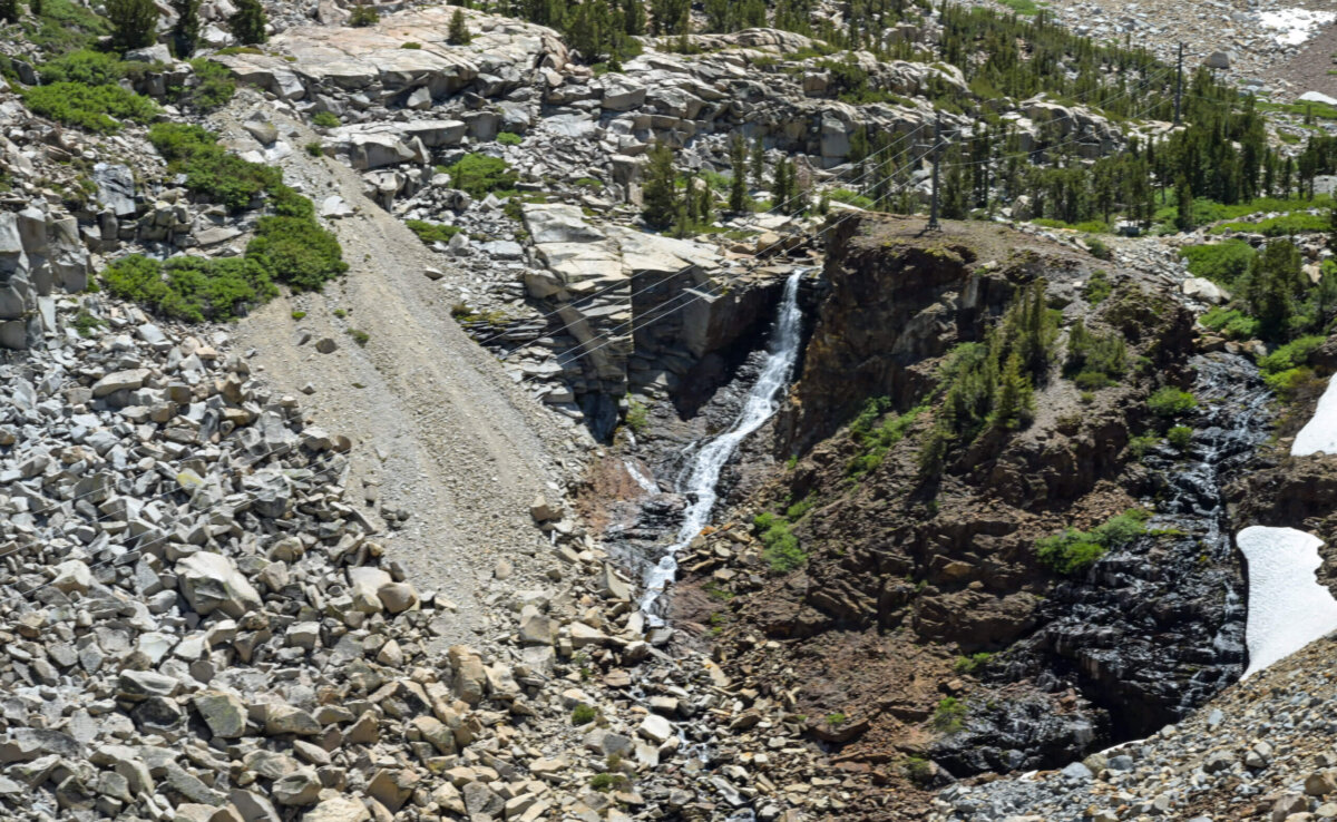
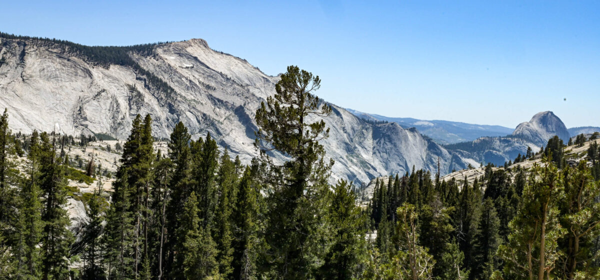
Beyond the Tuolumne Meadows, there is a series of domes (rounded rock formations), which are almost white in color, providing a bit of contrast against the darker rock formations and evergreen trees. Unfortunately, they were not fully visible from the main road and so I don’t have photos of them. However, I did manage to get pictures of a few other interesting formations and a small waterfall, as you can see below.
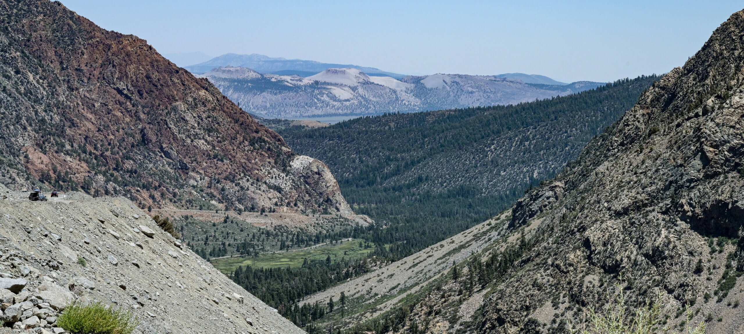
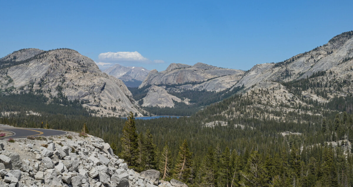
I found this photo particularly interesting because it is packed with information. I’d recommend zooming in to the features I mention. First, note the grass and trees present on the “floor” of the pass (middle of photo). This suggests a water source, such as a stream, is nearby. Second, there are two roads visible on the center left side of the photo, one between the grass and the stand of trees, and one above the trees near the base of the mountain. I think one road heads up the mountain and the other leads perhaps to a campground or picnic area on the floor. Finally, be sure to check out those truly funky round domes of sand in the rear of the frame (top of photo). They look like craters to me (I’ve seen a few recently) because they are round in shape and several have obvious indentations in the center with sloped “walls” around their entire perimeter. At the same time, the sand looks pretty soft to be able to form a crater. I was puzzled, so I did a bit or research and discovered that it is indeed possible to have a crater in sand.
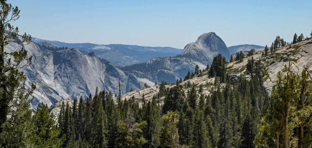
The Olmstead Point overlook was our final stop in Yosemite. There is a very large parking area here; the overlook itself follows the curve of the road, providing an expansive view of the upper elevations of the park. There are multiple formations visible in the foreground and even more in the distance. Here the colors of the rock tend toward shades of gray, sometimes with a bluish tint to them.
Next Up: Mammoth Mountain and Hot Creek
Leslie, your photos are spectacular.
I saw two great white sharks!
I see a basset hound’s head resting on its front paws.