As we begin to wind down this trip, we have just two more destinations left to visit. First is Mammoth Lakes, and second is Lone Pine.
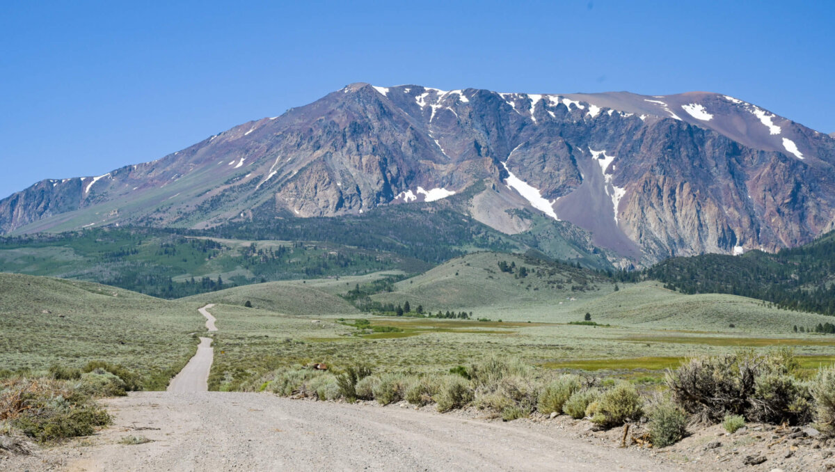
We left Plymouth on June 25, taking the most RV friendly of the available routes over the Sierra Nevada Mountains, to our next destination, the town of Mammoth Lakes, CA. The journey of approximately 195 miles took us just about 5 hours, in part because of the narrow, winding roads and steep grades, but also because of road construction which periodically brought us to a complete stop as we waited for traffic heading in the opposite direction to utilize the single available lane.
Mammoth Lakes is primarily a ski resort town, but it benefits from also having lots of attractions for warm weather outdoor enthusiasts. It sits at approximately 8,000 feet above sea level and is surrounded by many small lakes and mountain peaks of 10,000 feet and higher elevations. It is not far from the eastern entrance to Yosemite, which is located on a road that is only open during the summer months, typically from mid-June until September or early October. There are quite a few rather odd geological phenomena in the area, which also attract visitors, us included.
Our first excursion from our new home base in Mammoth Lakes was to the June Lakes Loop, about 30 minutes north on Hwy 395. The Loop road begins and ends at 395, and it is about 16 miles long. Parts of it pass through the Inyo National Forest, and along its length lie recreation areas and campgrounds and 4 glacial lakes as well as lots of interesting rock formations and one small village. The whole area is quite beautiful and looks like a great vacation spot.
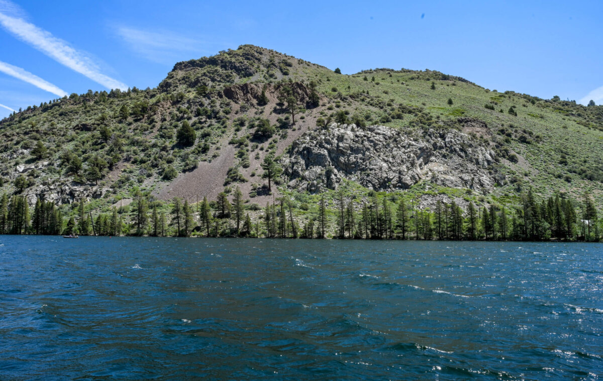
As I said above, there are 4 glacial lakes along the June Lakes Loop. First is Grant Lake, which is a surrounded by land that is largely undeveloped. Here the mountains are not as close to the road or the lake as they become further down the loop road. There is a marina, and some open land around the lake allowing access, but there are no hotels or campgrounds visible from the road.
The mountains move in much closer to the road and to the lake as you proceed down the Loop road toward the next lake in the chain, Silver Lake, which was my favorite.
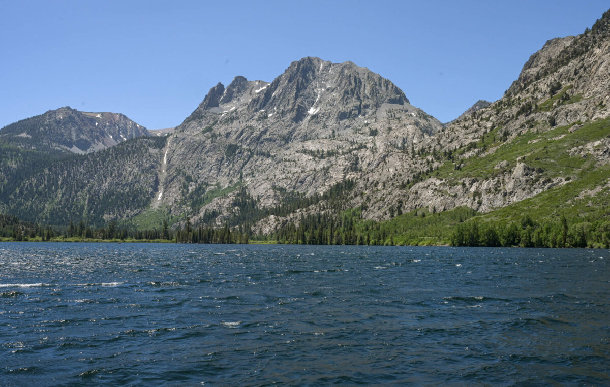
At Silver Lake there is a bit of development, including an interesting looking RV resort attached to a hotel and cafe, a more modest forest service campground, and an equestrian area which also provides camp sites. The lake itself is a gorgeous shade of blue, the water cold and pristine from the snow which feeds it.
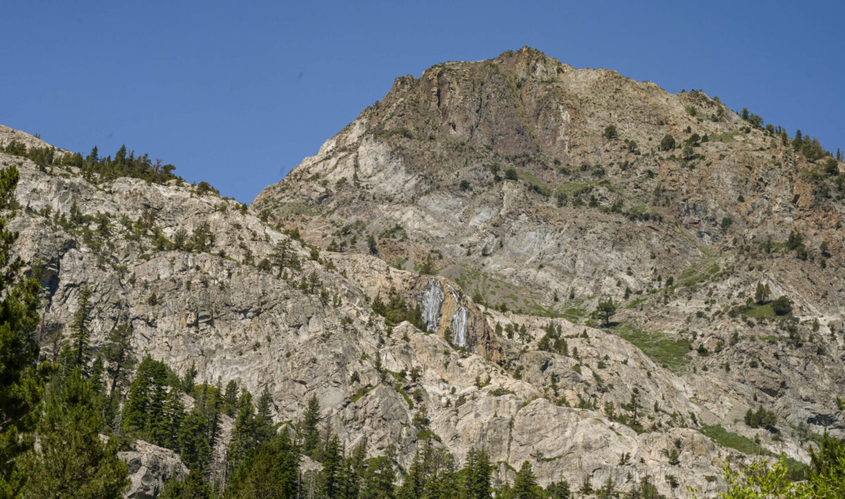
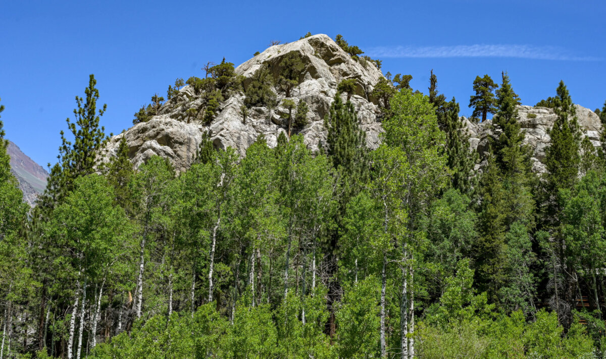
Continuing on the Loop road, there are some rather interesting rock formations and the beginnings of residential development. Frank and I had a persistent debate about whether or not the “water” which is visible in the photo below is actually a waterfall; I saw no signs of movement but he insisted he did. I’m using a wonderful new camera, which I absolutely adore, but I only purchased it and one of the three lenses I will ultimately need to get (all I could afford) so I was unable to zoom in any more than this.
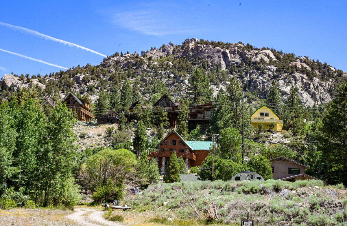
Leaving Silver Lake and heading toward the next lake in the chain, Gull Lake, there is some residential development and the beginnings of commercial development beyond hotels and campgrounds. The homes are terraced on the sides of the mountains and look exactly like you would expect mountain cottages to look. Here too is the June Mountain Ski Area, which is all closed up for the season.
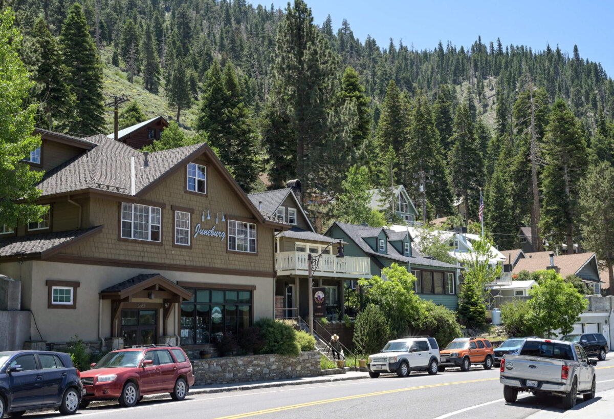
The area around Gull Lake starts off with wonderful funky rock formations but ends up with fairly dense residential and commercial development, RV parks and campgrounds, small hotels, etc. Where the lake ends, the small downtown area of the village begins.
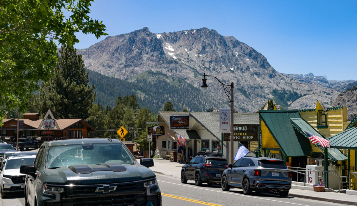
After the downtown area, there is one more lake, called June Lake, on the Loop Road. It is more or less undeveloped, just like Grant Lake, but it does have a marina and two distinct, fairly large sandy beaches that are visible from the road. Beyond the lake, there are a few miles of wide open space with mountains in the distance before the Loop once again intersects with Hwy 395.
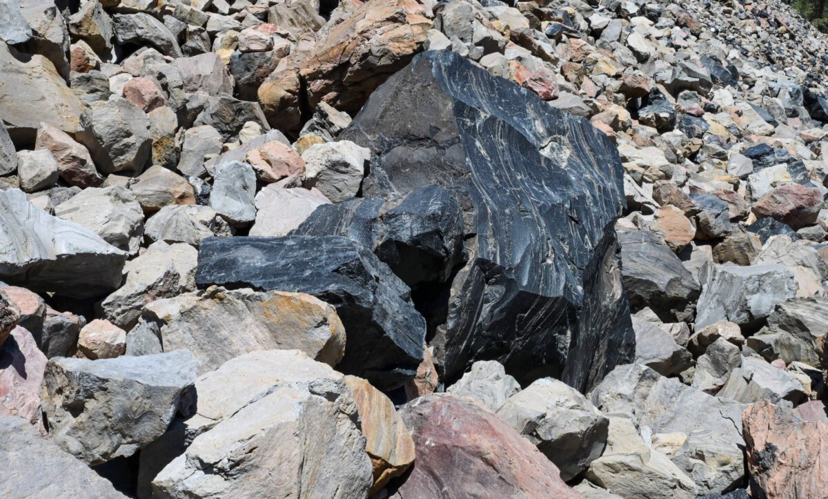
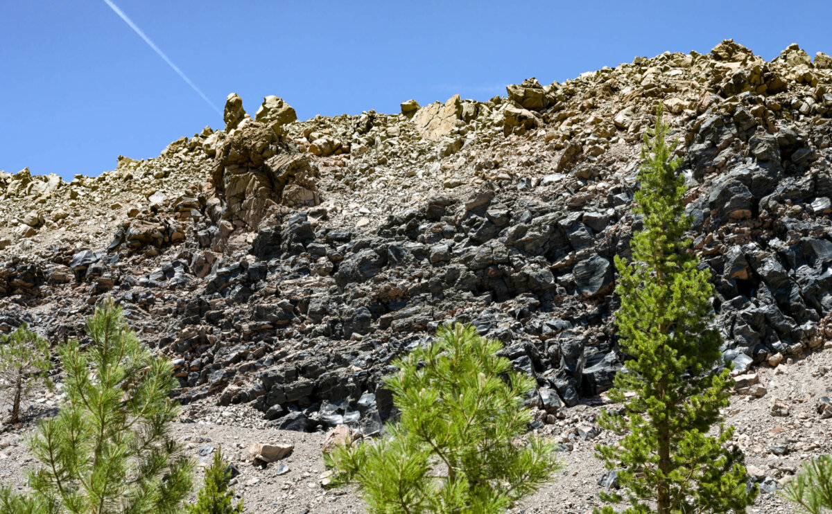
From June lake, we headed to a place called Obsidian Dome, just a bit south along Hwy 395. The turnoff quickly became an unpaved, not very well maintained, rough and rugged road that supposedly would lead in 3 miles to a trail that would take us to the top of the dome. We didn’t see the trailhead until we had turned around, having reached a virtually impassable section of the road where huge tree roots no longer covered in any kind of dirt or stone made it impossible to continue. We stopped and photographed the area around us before heading back the way we came.
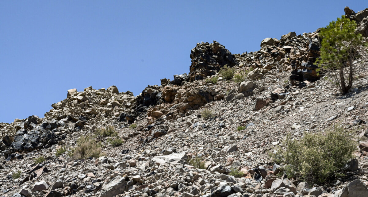
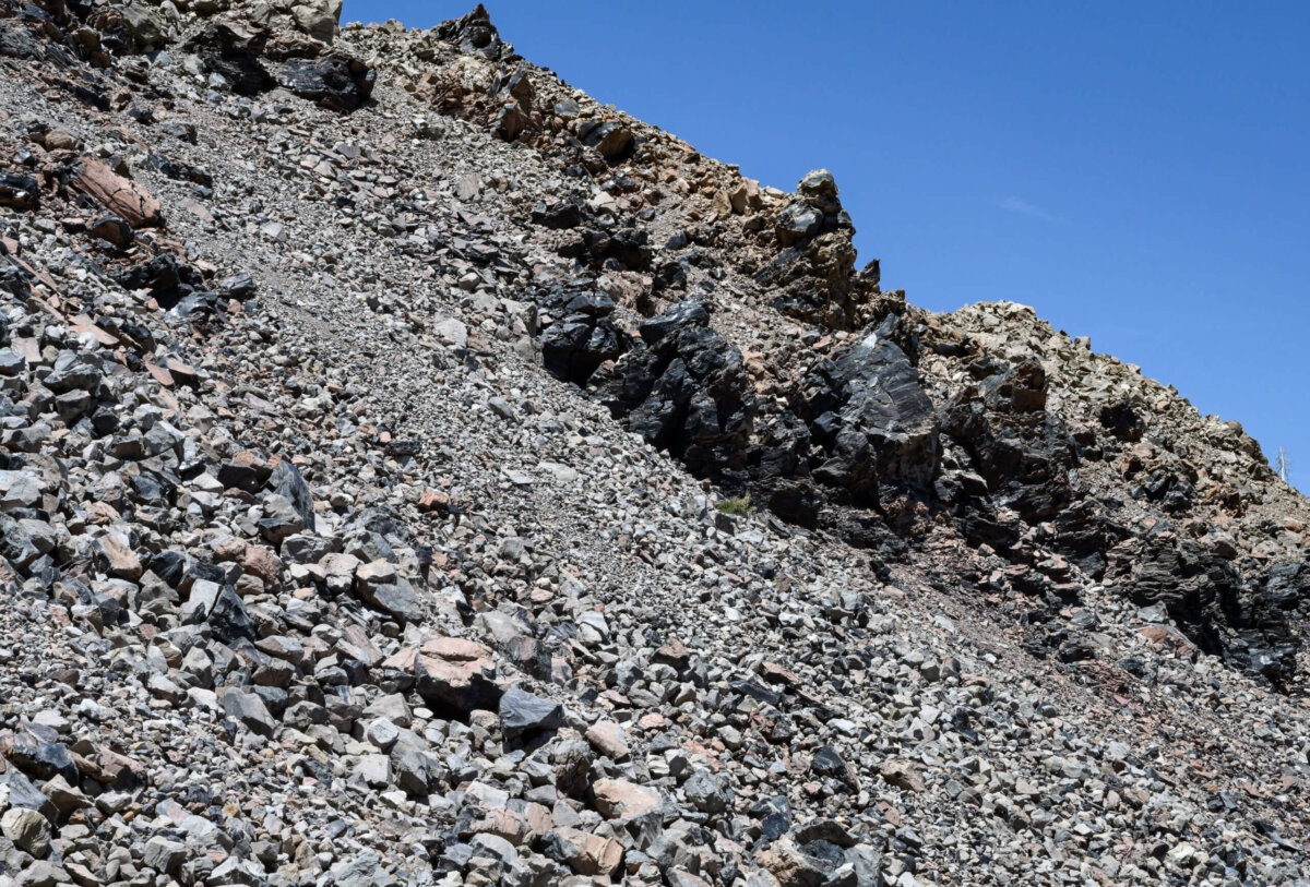
So apparently the Obsidian Dome is part of a chain of volcanic craters, domes and lava flows 25 miles long, running from Mono Lake to Mammoth Mountain. Once I understood what I was looking for, I was able to see that the road to the Obsidian Dome ran parallel to the chain of formations and so I took several photographs as we endured the rough road back to Hwy 395
The “domes” really look like large piles of loose rock. Obsidian is a type of volcanic black glass created when the lava flows hit ground water and cooled. Early civilizations used it for weapons and tools.
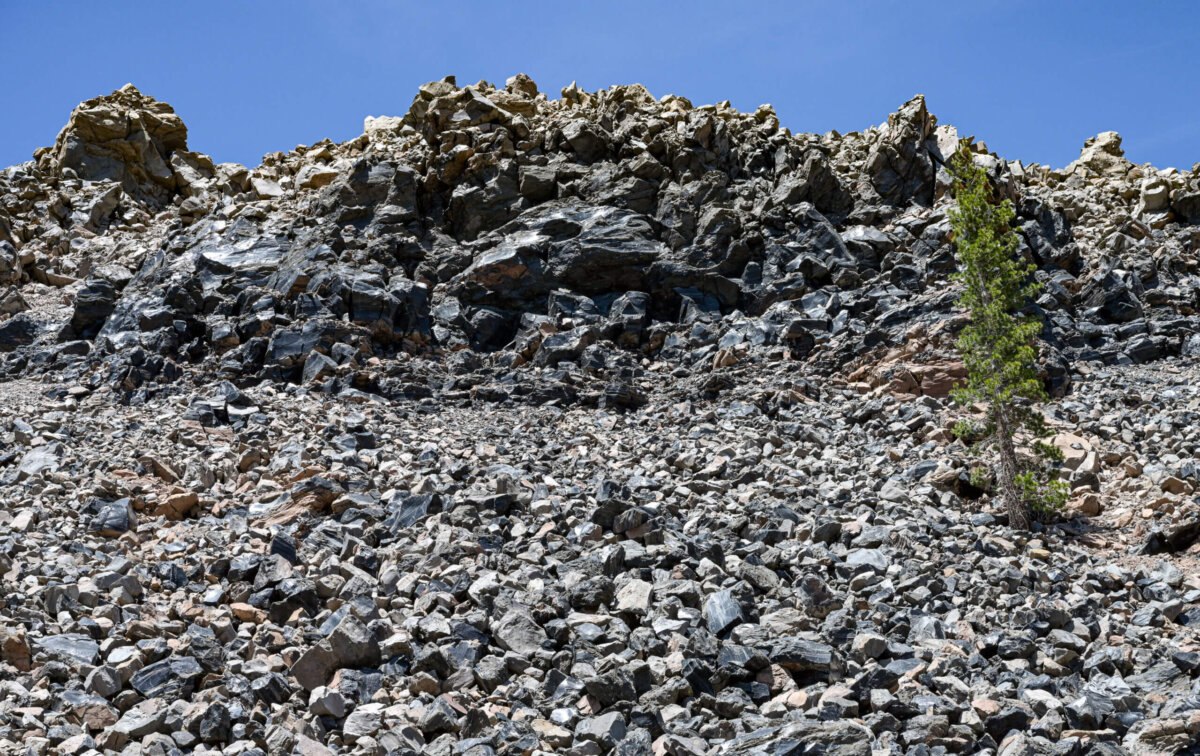
Next up: if you thought those piles of black glass were a bit on the other-worldly side, wait until you see the tufas at Mono Lake!
Beautiful pictures Leslie! What an amazing country we live in. Thank you for taking us on the journey with you. (I chuckled at the thought of you and Frank debating the waterfall. 😂 I can just imagine that conversation!)
Hey Tracey,
Wonderful to hear from you. Hope all is well. You would love this area…trees and lakes and mountains and plenty of green! Going from the western side of the mountains over to the eastern side was an interesting drive in an RV that was towing a Jeep. I actually got car sick for the first time in my life. The Sierra Nevada Mountains are nothing to sneeze at…Mammoth Lakes is at about 8,000 feet. It took me a few days to feel like I could walk and breathe at the same time.
As intended I am sure, that yellow home pops right out at you, doesn’t it LOL?
Hey John,
Yes it does. June Lakes is really charming in all respects. I loved it. But its pretty tiny; other towns aren’t too far away but this is not a heavily populated part of the world. I probably felt more comfortable in Mammoth; typical ski town I guess (I don’t have much experience) but large enough that there are a few distinct areas to explore. And there are so many interesting places nearby, as you will see in coming posts.
i’ve never been to the Mammoth Lakes area. This is a great Reid. I learned a lot.